

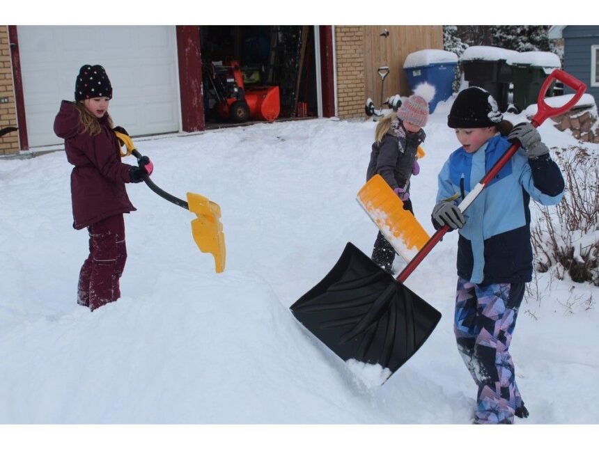
‘The story of winter … was the lack of precipitationPublished Apr 27, 2025 • 3 minute readFrom left, Aubree MacNeil, 7, her sister Kinsley MacNeil, 5, and their cousin Ayla MacPhee, 9, of Sydney piled up some snow to build an igloo during a snow day on Jan. 30, after 17.4 cm of snow fell in Sydney the night before. The snowfall was one of only a few major precipitation events this winter in the Cape Breton Regional Municipality. Photo by T.J. Colello /Cape Breton PostIf you believe we got through winter relatively unscathed in Cape Breton, you’re right.Most of the island experience far less precipitation this meteorological winter (December to February) than usual, according to Bob Robichaud, warning preparedness meteorologist with Environment and Climate Change Canada.It’s a stark contrast to 2024, when over 150 cm of snow pummeled much of the CBRM from Feb. 2-5.THIS CONTENT IS RESERVED FOR SUBSCRIBERS ONLY.Subscribe now to access this story and more:Unlimited access to the website and appExclusive access to premium content, newsletters and podcastsFull access to the e-Edition app, an electronic replica of the print edition that you can share, download and comment onEnjoy insights and behind-the-scenes analysis from our award-winning journalistsSupport local journalists and the next generation of journalistsSUBSCRIBE TO UNLOCK MORE ARTICLES.Subscribe or sign in to your account to continue your reading experience.Unlimited access to the website and appExclusive access to premium content, newsletters and podcastsFull access to the e-Edition app, an electronic replica of the print edition that you can share, download and comment onEnjoy insights and behind-the-scenes analysis from our award-winning journalistsSupport local journalists and the next generation of journalistsRegister to unlock more articles.Create an account or sign in to continue your reading experience.Access additional stories every monthShare your thoughts and join the conversation in our commenting communityGet email updates from your favourite authorsSign In or Create an AccountorArticle contentRead More Snow, ice pellets, high winds on way for much of Cape Breton Cape Breton Winterfest big hit with families despite weather “The western part of the Cape Breton is probably the area at least in the Maritimes that was near- to above-average in terms of precipitation,” said Robichaud. “Everywhere else, including much of Victoria County and the rest of Cape Breton, along with mainland Nova Scotia, P.E.I., and southeast New Brunswick were quite a bit below normal from a precipitation point of view.“They get the onshore flurry activity, snow squalls on the western part of Cape Breton, but what stands out was that event just after the new year, Jan. 4-6, where they got a lot of continuous heavy snow. That contributed to the numbers in terms of the anomalies that we’re seeing in western Cape Breton.”Article contentIn terms of temperature, Robichaud said it was pretty average in December and slightly warmer in January and back to average in February.“The story of winter and what everybody seems to talk about was the lack of precipitation,” he said.Robichaud said the lack of snowfall was due to the storm tracks.“We had a lot of storms that shifted between a northerly track, which brought some higher levels of precipitation along the Gaspé Peninsula on the north shore of Quebec, and they seemed to shift a fair bit south,” he said. “So even in areas to the south, there’s less precipitation than average.“When you see that kind of thing, especially in the winter and spring months, the storm tracks have not favoured those high precipitation events.”Article content Bob Robichaud, warning preparedness meteorologist with Environment and Climate Change Canada: “Really the story of winter and what everybody seems to talk about was the lack of precipitation.” Photo by FileAVERAGE SPRING, WARMER SUMMERAlthough we still have about five weeks left of meteorological spring (March to May), Robichaud said it’s been average temperatures so far for March and April.“It’s been slightly drier along the south shore, but maybe drier than average in CBRM. No huge anomalies for April in terms of precipitation,” he said.As for this summer (June to August), Robichaud said modelling is pointing to a warmer-than-average summer this year.“Much of Eastern Canada would be if not hugely above average, but it’s showing above-average temperatures for the summer months,” he said. “That extends all the way into Labrador and into eastern Ontario and seems to drop off after that.”EFFECTS OF CLIMATE CHANGEArticle contentRobichaud said the effects of climate change have resulted in a direct impact on the weather. As an example, he cited the lack of ice in the Gulf of St. Lawrence.“Since the water stays open for a longer period of time, we tend to have more of these snow squall outbreaks in the fall,” said Robichaud. “When the spring comes around, there’s less time required to melt the ice because the ice isn’t there, so the warmer air temperatures that we see can go directly into warming the water which, in itself, warms the water in the gulf more than it would be in a normal season based on 30-year averages.“Once you get into the fall again, it takes longer for the water to cool down and then if it’s going to freeze, to freeze, so you get that feedback mechanism in place where because the waters are getting warmer in the summer time and into the fall, it takes longer for the water to freeze, therefore you get less ice coverage and you get the same thing happening in the spring again.Article content“Year after year, we’re seeing less ice than what we used to get 30 to 40 years ago. That is a main driver of some of the weather that we get and a direct link to climate change.”A warmer climate also means the atmosphere can hold more moisture, so there’s always that elevated potential for some heavier precipitation events, said Robichaud.“Those are kind of the main things we see that we can directly tie with climate change and of course, sea-level rise as well,” he said.Robichaud said although water temperatures are still above average, that record warmth in the Atlantic Ocean has gone down this year. That could hint toward a less active hurricane season, but still above average.Article content
Cape Breton experienced less precipitation this winter


