

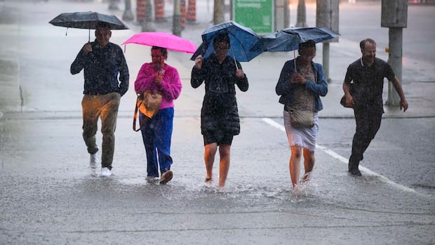
OttawaThursday’s third batch of severe storm warnings has ended. A severe thunderstorm watch remains for most of eastern Ontario and western Quebec.Thunderstorm watches still cover most of the rest of the regionCBC News · Posted: Jul 17, 2025 9:41 AM EDT | Last Updated: 32 minutes agoPeople hold umbrellas as they make their way through heavy rain in Ottawa in June 2024. (The Canadian Press/Justin Tang) Thursday’s third batch of severe storm warnings has come and gone with the ending of a severe mid-afternoon thunderstorm warning in and around Ottawa-Gatineau.Overall, eastern Ontario and western Quebec could see heavy wind, rain and lightning Thursday under a swath of severe thunderstorm watches, according to Environment Canada.Wind gusts up to 90 or 100 km/h are possible across eastern Ontario, and the area could get more than 50 millimetres of rain. The storms could bring hail to the Outaouais.Forecasters no longer mention the tornado risk they did earlier in the day.The thunderstorm watch ended for the Deep River area around 1:40 p.m. and for the Pembroke area around 2:45 p.m.Some local heat warnings remain, but are expected to end soon. A cold front moving into the region is contributing to the storms, forecasters say. Environment Canada recommends staying indoors and take cover in a basement where possible during threatening weather, and notes strong winds can damage trees or buildings and overturn vehicles.It issues a severe thunderstorm watch when conditions are favourable for a storm to develop. A warning is issued when there is evidence that a thunderstorm is imminent or occurring that will produce damaging hail, wind or rain. Here’s what to do during a tornado alert Use CBC Lite for low-bandwith news if you lose power, internet Earlier in the day a severe thunderstorm made its way east across the Algonquin Park area mid-morning, then a strong thunderstorm with the possibility of a tornado hit the Pembroke area late in the morning.
Latest severe thunderstorm warnings have ended


