

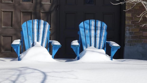
OttawaForecasters generally expect up to 10 to 15 centimetres of snow, with some snowfall warnings and winds in the mix on the Ontario side of the Ottawa River.About 10-15 cm forecast, possibly north and west of the capitalCBC News · Posted: Apr 07, 2025 10:19 AM EDT | Last Updated: 7 hours agoPiled-up snow melts off deck chairs in Ottawa in March 2022. Any yard prep done this April is going to get snowed on Monday night. (Ian Black/CBC)Environment Canada says to expect a snowy Monday night around Ottawa-Gatineau, most of all west and north of the capital.There are snowfall warnings across western Quebec, in northern Ottawa and in Renfrew County. Advisories about the snow sit just south of the warnings from Bancroft to Cornwall.The snow is generally expected to start Monday evening and end Tuesday afternoon. It should begin earlier and snow harder to the west.For example, Renfrew County’s snowfall warning calls for 15 to 25 centimetres of snow compared to Ottawa’s forecast near 15 centimetres.The advisories have more than a range: those places could get close to 15 centimetres, but they could also get five.All could have some blowing snow.Western Quebec’s snowfall warning predicts 15 to 20 centimetres of snow and does not focus on wind.There are no alerts further south for communities such as Brockville or Kingston.Colder temperatures are also forecast Monday night and Tuesday: an overnight low of –10 C in Petawawa and daytime high around –3 C Tuesday there and in Ottawa.The average daytime high this time of year is 9 C.
Spring snowstorm expected to hit Ottawa area Monday night


